
Cloud-based Remote Sensing with Google Earth Mechanism
08.09.2025
Since ancient times, humanity has been interested in studying Mother Earth, where it lives. Initially, they were interested in the shape of the Earth and the arrangement of objects on it, but later, in the 20th century, when the highest level of human development began, objects on the Earth's surface began to be photographed by flying aircraft. However, due to the fact that the images obtained by these devices received only data related to small territories in the form of images, and the need for large-scale space images arose for the study and monitoring of large-scale territories, including national, regional, and global events and problems, since 1972, a satellite apparatus for regularly photographing the Earth's surface at certain intervals of time has been released. Since then, millions of images collected from spacecraft have been widely used to monitor human activity on Earth, manage natural resources, identify mineral deposits, monitor environmental processes, analyze climate change, assess agriculture, and predict natural disasters and mitigate their consequences. To perform these tasks, we usually upload large images to our computer and then perform various operations by opening them in various special programs, including Geographic Information System (GIS) programs.
However, we must remember that as time passes, humanity, in order to study the above-mentioned events and problems more deeply, to collect more information about them than ever before, will try to produce sensors with perfect spectra, cameras, install them on satellite apparatus, and obtain nanopixel images with very high spatial resolution if necessary. Such images, as you understand, have enormous memory capacity and require extra space from your computer. Even if you find them, you won't be able to work with them easily in GIS programs installed on a computer. Instead, you can use the Google Earth Engine platform that works with the internet, search for almost any optical and multispectral images, import them into the platform, perform various operations, analyzes, and visualize the analyzed data by writing code on it in the popular JavaScript programming language, and automate this process, and then, in the future, when you need to repeat these tasks, use the written "scripts" and easily perform them, saving your time.
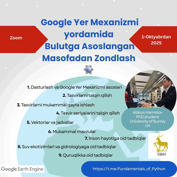
Considering this, we are launching our third course, "Cloud-based Remote Sensing Using Google Earth Mechanism," which is related to the previous courses: "Fundamentals of Python, Data Analysis and Visualization" and "Machine Learning." This course consists of two parts, the first part is devoted to the basics of the JavaScript programming language and the Google Earth Engine platform, and the second part is devoted to the practical application of the Google Earth Engine platform in various fields. The course will begin on October 1, and information on each topic will be posted in electronic and video formats on the https://t.me/Fundamentals_of_Python channel.
Sections covered in the course:
- Section 1: BASICS OF PROGRAMMING AND GOOGLE EARTH MECHANISM
- Section 2: IMAGE INTERPRETATION
- Section 3: PERFECT IMAGE PROCESSING
- Section 4: INTERPRETATION OF IMAGE SERIES
- Section 5: Vectors and Tables
- Section 6: PERFECT TOPICS
- Section 7: HUMAN LIFE APPLICATIONS
- Section 8: APPLICATIONS ON WATER ECOSYSTEMS AND HYDROLOGY
- Section 9: TERRITORIAL APPLICATIONS